March 8, 2017 weblog
GeoVisual Search: Looking for wind turbines or other objects all over the globe
In discussing Descartes Labs, CNET said "In the short term, the company has been working in agriculture to better monitor crops, feed lots and other data sources."
Los Alamos, New Mexico-based Descartes Labs has indeed made itself known as applying machine learning to satellite imagery data sets to analyze and predict crop yields.
Earlier this week, though, it became clear that the Descartes Labs focus is expanding its reach.
Descartes Labs on Tuesday launched GeoVisual Search, said Fast Company's Daniel Terdiman. They released a public demo of the search engine, said CNET, and it "combines satellite images of Earth with machine learning on a massive scale."
Eric Mack in CNET also said it simply. "GeoVisual Search makes it possible to search satellite images of the entire world for matching objects." Another way of putting it was scanning the globe through AI "eyes."
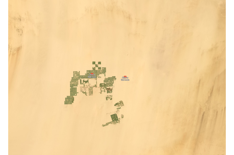
Users can run an automatic query, on one of three collections of satellite imagery.
They are–one for the U.S., one of the world, and one for China.
Beyond finding out about crop yields, consider finding out about solar farms, wind turbines, sports arenas, or any object visible on satellite imagery. One of the use examples posed by Eric Mack in CNET was especially creative: "plot a round-the-world trip hitting every major soccer stadium along the way."
Terdiman said it is "as easy as clicking on one you know about and letting some machine intelligence take over."
John Mannes in TechCrunch said, "Users can scour the earth's surface by placing a provided bounding box around any object they would like to search for. GeoVisual Search returns other instances of the same object across the world."
Business use cases? The CEO, Mark Johnson, told Fast Company that "when the company has talked to its customers about GeoVisual Search, 'they get really excited, and they start brainstorming ideas on how to use geospatial imagery and machine intelligence for their business.'"
In an email to CNET, Johnson said that "We want businesses to think about how new kinds of data will help to improve their work. And I'd like everyone to think about how we can improve our life on this planet if we better understood it."
As for the China map, Descartes Labs said, "This map uses satellite imagery at 4m resolution from our friends at Planet. Though the resolution isn't as high as the NAIP map over the US, Planet's satellites will soon be providing daily pictures of the globe. In this map, you'll be able to find solar farms and stadiums."
As for the world, this is at 15m resolution. They said it is much coarser than their other maps but that one can find larger-scale phenomena, such as pivot irrigation and suburbs.
Why this is a unique turn of events: GeoVisual Search actually compares all the pixels making up huge photos of the world to find matching objects as best it can, explained Mack, "an ability that hasn't been available to the public before on a global scale."
Mack tried out the tool and said it was not perfect, after searching for objects that looked similar to a large coal mine and power plant in northern New Mexico. "Though this is a demo, GeoVisual Search operates on top of an intelligent machine-learning platform that can be trained and will improve over time," Johnson said in CNET.
Descartes Labs said it straight. "Though GeoVisual Search is just a demo, not a product, we wanted to release it because it will hopefully inspire you to think about what's possible when computers can recognize patterns in satellite imagery. Plus, it's really fun to play with."
John Mannes in TechCrunch said "The team is still tinkering so it's not able to return an exhaustive list of every occurrence of a given feature."
What, then, is the technology behind GeoVisual Search? The Descartes Tech Blog talks about it, saying the basic idea is (1) divide the earth's surface into small, overlapping images (2) extract a "visual feature vector" from each image using a convolutional neural network and (3) given a query image, search for "visual neighbors" in this feature space.
© 2017 Tech Xplore


