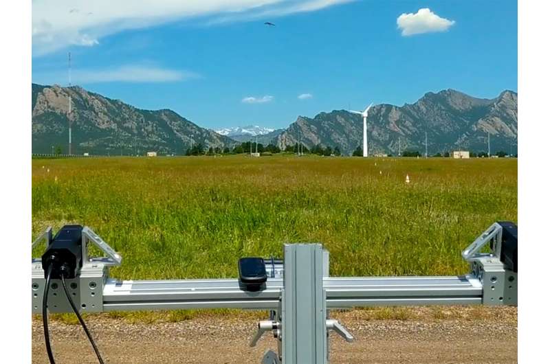
ThermalTracker-3D tracks an unmanned aerial system (visible top, center) during testing at the NREL Flatirons Campus. Credit: Shari Matzner, PNNL
A technology designed to track bird and bat behavior around remote offshore wind turbines has been evaluated for accuracy.
Developed by a Pacific Northwest National Laboratory (PNNL) research team, ThermalTracker-3D is a software solution that uses a stand-mounted pair of thermal cameras with stereovision streaming and processing capabilities. ThermalTracker-3D is designed to provide data to help inform decisions such as where and how to locate wind turbines, and it allows monitoring of bird and bat behavior following offshore wind plant construction to help fill gaps in the understanding of avian-wind technology interactions.
The PNNL team tested the system using a drone outfitted with a global positioning system—or GPS—as the target.
The drone flew for 15 to 35 minutes at a time in various patterns between 50 and 325 meters from the system. ThermalTracker-3D showed a tracking accuracy of, on average, a few meters from the GPS.
"We found that the level of accuracy is comparable to that of human estimates of flight height noted in other studies," said PNNL scientist Shari Matzner, who led development and testing of the system.
The team also found that the 3-D method has the potential to provide a more comprehensive picture of all bird and bat activities around wind turbines than is possible with current survey methods.
The evaluation, conducted at the National Renewable Energy Laboratory's Flatirons Campus, was documented in a research paper published in Ecological Informatics. The team is now readying the system for a potential deployment this spring on a lidar research buoy stationed off the coast of California, where two research buoys are collecting meteorological and oceanographic measurements in support of the Bureau of Ocean Energy Management.
Provided by Pacific Northwest National Laboratory


